


If you are interested in a very intensive hike, consider the ascent to Piz Nair. We have done this with great pleasure. Were regularly out of breath, especially the last part.

Dogs are largely allowed to roam freely.

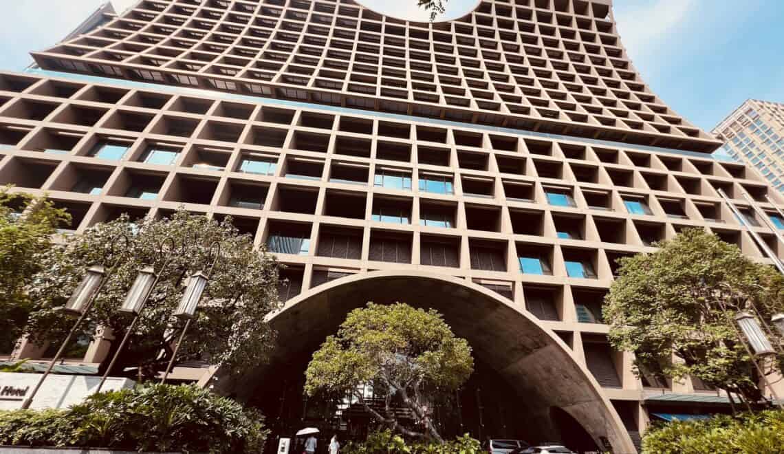
We took the Signal gondola up. The Signal gondola is located next to Kempinski Grand des Bains. We had got a gondola pass from the hotel, just buy a ticket for the dog for this gondola and we can go up.
Signal ends at 2,130 meters. From there we first walked over a paved road towards Alp Suvretta, which is located at 2,211 meters. Then the climb will start. It is and remains a hike, so you don’t have to climb over rocks.


We take the path Suvretta da San Murezzan to the lake (lej) Suvretta. The lake is at 2,615 meters. We have now climbed 400 meters, because the walk on this part is more than 1.5 hours, it is not an intensive climb.
Dogs can enjoy swimming in the lake or drinking water. Tobias likes to do both, when he saw the water he immediately jumped in. On the way to the lake you will come across plenty of streams and waterfalls, where the dog can also drink spring water.


The trail is partly a mountain bike trail and hiking trail. The number of mountain bikes that we encounter on the first part (towards the lake) can be counted on one hand.

At pass Suvretta we are faced with a choice: climb to Piz Nair (at 3,057 meters, so again more than 400 meters climb) or descend to Corviglia (at 2,486 meters) and take the gondola to Piz Nair. We have already climbed 400 meters, on a fairly long hiking trail and we see that the path to Piz Nair is a lot shorter than we had walked so far, so we know that it will be a tough climb. It is ‘only’ an hour to Piz Nair from Pass Suvretta, so we decide to climb.

This climbing requires a lot of stamina. The path sometimes goes up steeply. We even saw mountain bikers going down and partly walking because they thought it was too steep to go down. Every now and then we look at each other and wonder “what are we doing here”, especially since there are only rocks at this height and we only see people descending who respect us. We continue Occasionally gasping for breath.


After about an hour we arrive at the top. The Piz Nair has been reached. The view is very beautiful. It was almost cloudless so we can see very far and see the wide area well.

The first restaurant we see after we got off at the Signal is the restaurant on the Piz Nair. Here we go for lunch. After lunch we decide to take the gondola to Corviglia and from there to do the descent by foot to the village. The descent from Corviglia to Signal takes us about 40 minutes and after that it is about 30 minutes back to the village.


Tobias is devastated, he immediately falls asleep in the hotel room. We see that he enjoys. He walked a lot and swam wonderfully.
The tour, including lunch, takes about 5 hours (including the gondola). It was about 11 kilometers. 8.6 kilometers up and 2.4 kilometers down.
The climb is good for the leg muscles. Tired but satisfied we take a delicious drink in the hotel. On to dinner.


Your blog is wonderful. The content are fascinating and insightful.